



CHARLESTON, WV (LOOTPRESS) – Strong to severe thunderstorms could develop across parts of West Virginia Saturday afternoon and evening as a cold front approaches the region, according to the National Weather Service in Charleston.
Forecasters said scattered clusters of thunderstorms are expected to develop ahead of the front and move through the area later in the day.
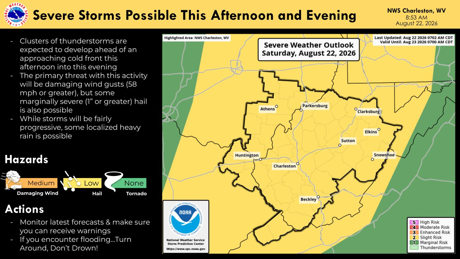
Damaging winds will be the primary severe weather threat. Some storms could produce wind gusts of 58 mph or greater, which could bring down trees and lead to power outages.
The National Weather Service said some marginally severe hail, measuring one inch or larger, is also possible.
While the storms are expected to move through the region fairly quickly, localized heavy rainfall could occur. The National Weather Service advised residents to monitor the latest forecasts and make sure they have a way to receive weather warnings.
Much of the National Weather Service Charleston forecast area is under a Slight Risk for severe thunderstorms Saturday, according to the Storm Prediction Center outlook included in the agency’s morning update.
The National Weather Service said the tornado threat is currently considered minimal, with damaging winds expected to be the main concern.


