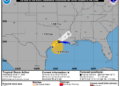
MIAMI, FL (LOOTPRESS) — Tropical Storm Arthur has formed near the middle Texas coast and is expected to bring dangerous flooding, storm surge, strong winds and possible tornadoes across portions of the Gulf Coast and southeastern United States through the end of the week.
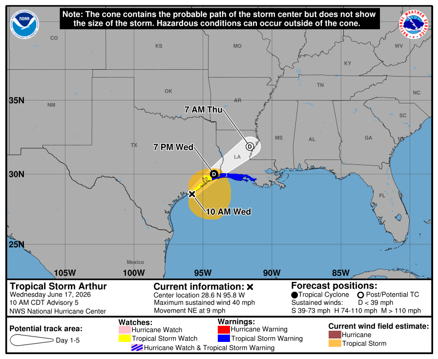
According to the National Hurricane Center’s 10 a.m. CDT advisory Wednesday, Arthur was located about 40 miles northeast of Port O’Connor, Texas, and approximately 190 miles west-southwest of Lake Charles, Louisiana.
The storm is currently packing maximum sustained winds of 40 mph and is moving northeast at 9 mph.
Forecasters expect Arthur to track along the Texas coast throughout the day before moving inland over southwestern Louisiana by Wednesday night. While little additional strengthening is expected, the storm is forecast to weaken rapidly after moving inland and could dissipate by late Wednesday night or early Thursday.
A Tropical Storm Warning is in effect from High Island, Texas, to Morgan City, Louisiana, while a Tropical Storm Watch remains in effect from Sargent, Texas, to High Island.
The biggest concern with Arthur is expected to be heavy rainfall and flash flooding.
Forecasters warn the storm could dump between 5 and 10 inches of rain across portions of Texas, Louisiana, Mississippi and Alabama, with isolated totals approaching 20 inches. Heavy rainfall is also expected to extend into western Georgia and the Florida Panhandle through early Friday.
The National Hurricane Center warned that the rainfall could lead to “dangerous to life-threatening flash flooding” across the region.
In addition to flooding, coastal areas face the threat of storm surge flooding. Water levels could rise between 2 and 4 feet above normally dry ground from Port Bolivar, Texas, eastward to Morgan City, Louisiana, especially near and east of where the storm comes ashore.
Tropical-storm-force winds extend up to 175 miles from the center of the storm. Wind gusts approaching 50 mph have already been reported along portions of the Texas coast, including Galveston.
Meteorologists are also warning of dangerous surf and rip current conditions along the northwestern Gulf Coast over the next several days.
A few tornadoes may also develop through Thursday from the Upper Texas Coast into southern Louisiana, Mississippi, Alabama and the western Florida Panhandle.
Residents in affected areas are urged to monitor forecasts from the National Hurricane Center and local National Weather Service offices and be prepared for rapidly changing weather conditions.